
Love exploring? Love travelling? Love photography? Love to see new things?
Here's something that combines all of those: Panoramio!
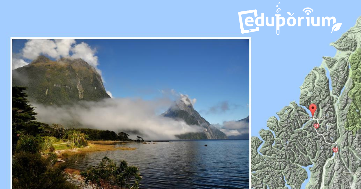
Panoramio is a user-generated collection of images superimposed on a world map, powered by Google Earth. This means that if you are interested in looking at images specific to a certain place, just move the map over to that place, and zoom in!
Personally, I think this is a great way to discover what the Internet has to offer in a more targeted way. You get several layers of information in one go: physical geography and natural landscape, cultural exposure, and the location of countries and cities. This interconnectedness of the material makes the the process of learning engaging—you wont even notice it. But as a result, you'll discover that there's Huaca del Sol (an adobe brick temple) on the coast of Peru, beautiful mountains in Ribeira Grande in Cape Verde, and what the Aurora borealis looks like in Scandinavia. The best part? It is memorable, and you'll want to learn more about the places you virtually visit
Go ahead, take a look!